File:A2024 - 1947.png
Jump to navigation
Jump to search

Size of this preview: 800 × 371 pixels. Other resolution: 900 × 417 pixels.
Original file (900 × 417 pixels, file size: 816 KB, MIME type: image/png)
| |||||||||||||||||||||||||
|
Galleries | A2024 | B2144 | A29 | OS One Inch | ||
File history
Click on a date/time to view the file as it appeared at that time.
| Date/Time | Thumbnail | Dimensions | User | Comment | |
|---|---|---|---|---|---|
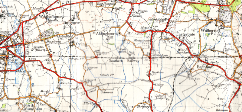
| current | 22:38, 25 November 2009 | | 900 × 417 (816 KB) | Ritchie333 (talk | contribs) | {{Information |description = A2024 east of Chichester in 1947 |day = |month = |year = 1947 |photographer = Ordnance Survey |source = Ordnance Survey New Popular Edition Sheet 181 |road = A2024 |road2 = B2144 |
File usage
The following 4 pages use this file: