File:A264 Road bridge over River Medway (C) David Anstiss - Geograph - 1906395.jpg
Jump to navigation
Jump to search

No higher resolution available.
A264_Road_bridge_over_River_Medway_(C)_David_Anstiss_-_Geograph_-_1906395.jpg (640 × 480 pixels, file size: 67 KB, MIME type: image/jpeg)
| |||||||||||||||||||||||||
|
Galleries | A264 | Ashurst Bridge | ||
File history
Click on a date/time to view the file as it appeared at that time.
| Date/Time | Thumbnail | Dimensions | User | Comment | |
|---|---|---|---|---|---|
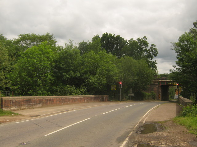
| current | 18:39, 29 October 2014 | | 640 × 480 (67 KB) | Jeni (talk | contribs) | '''A264 Road bridge over River Medway (C) David Anstiss '''<br/>This road leads from Holtye and Teasley Mead towards Ashurst and Stone Green. It crosses over the River Medway which is also at this point the county boundary between East Sussex and Kent.... |
File usage
The following page uses this file:
_David_Anstiss_-_Geograph_-_1906395.jpg&oldid=389867)