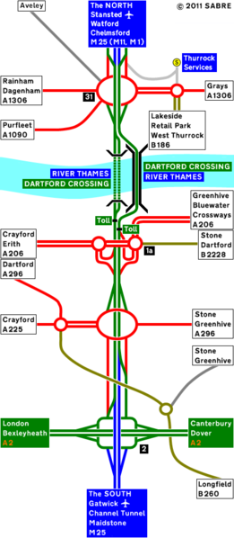
File:A282 Strip Map 2004.PNG
Jump to navigation
Jump to search

Size of this preview: 261 × 598 pixels. Other resolution: 437 × 1,001 pixels.
Original file (437 × 1,001 pixels, file size: 80 KB, MIME type: image/png)
File history
Click on a date/time to view the file as it appeared at that time.
| Date/Time | Thumbnail | Dimensions | User | Comment | |
|---|---|---|---|---|---|
| current | 19:41, 23 July 2011 | | 437 × 1,001 (80 KB) | Abeaton (talk | contribs) | New version |
| 21:43, 20 April 2010 |  | 437 × 1,001 (56 KB) | Abeaton (talk | contribs) | new version | |
| 09:22, 26 January 2010 |  | 437 × 982 (52 KB) | Abeaton (talk | contribs) | {{Information |description = This is the A282 as it was in 2004. |road = A282 }} |
File usage
The following page uses this file: