File:A299 Elegant Arch - Coppermine - 18634.jpg
Jump to navigation
Jump to search

Size of this preview: 800 × 600 pixels. Other resolution: 1,127 × 845 pixels.
Original file (1,127 × 845 pixels, file size: 96 KB, MIME type: image/jpeg)
| |||||||||||||||||||||||||
|
Galleries | A299 | ||
File history
Click on a date/time to view the file as it appeared at that time.
| Date/Time | Thumbnail | Dimensions | User | Comment | |
|---|---|---|---|---|---|
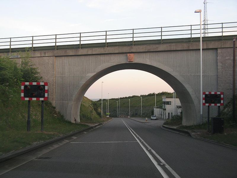
| current | 11:12, 20 April 2010 | | 1,127 × 845 (96 KB) | Ritchie333 (talk | contribs) | '''A299 Elegant Arch''' Approaching Pegwell Tunnel en route to Ramsgate ferry terminal, now about 1 mile away. The arch bridge carries a former minor road from Pegwell to Cliffsend which was closed to traffic and now forms part of the Viking Coastal Tra |
File usage
The following page uses this file: