File:A3036-1927.jpg
Jump to navigation
Jump to search

No higher resolution available.
A3036-1927.jpg (264 × 266 pixels, file size: 36 KB, MIME type: image/jpeg)
| |||||||||||||||||||||||||
|
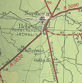
Galleries | A3036 (South Petherton - Stonehenge) | Bartholomews Mapping | ||
File history
Click on a date/time to view the file as it appeared at that time.
| Date/Time | Thumbnail | Dimensions | User | Comment | |
|---|---|---|---|---|---|
| current | 21:47, 6 June 2009 | | 264 × 266 (36 KB) | Steven (talk | contribs) | {{Information |description = A3036, 1927 |day = |month = |year = 1927 |photographer = |source = Bartholomew's Revised "Half Inch" Sheet 34 |road = A3036 }} [[Category:Map |
File usage
The following page uses this file: