File:A303 - Amesbury bypass - Coppermine - 12302.jpg
Jump to navigation
Jump to search

Size of this preview: 800 × 600 pixels. Other resolution: 1,024 × 768 pixels.
Original file (1,024 × 768 pixels, file size: 145 KB, MIME type: image/jpeg)
| |||||||||||||||||||||||||
File history
Click on a date/time to view the file as it appeared at that time.
| Date/Time | Thumbnail | Dimensions | User | Comment | |
|---|---|---|---|---|---|
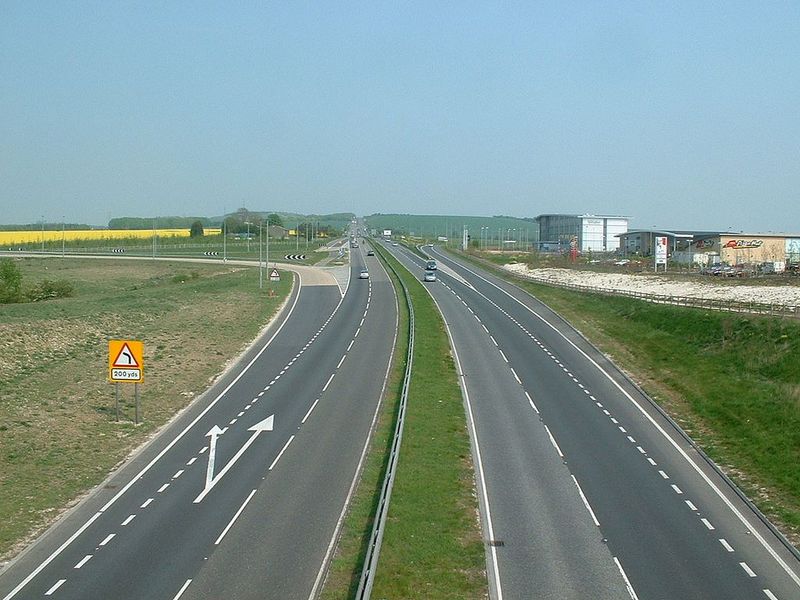
| current | 14:49, 24 September 2010 | | 1,024 × 768 (145 KB) | Multiraider2 (talk | contribs) | '''A303 - Amesbury bypass''' Looking east along the bypass, opened about 1970. Taken from the junction recently improved for the new Solstice Park Services and business park. Top of the hill in the distance is the same summit visible from Quarley Hill. |
File usage
The following page uses this file: