File:A3047 CPR Link Road Phase 1.jpg
Jump to navigation
Jump to search

Size of this preview: 800 × 449 pixels. Other resolution: 2,592 × 1,456 pixels.
Original file (2,592 × 1,456 pixels, file size: 936 KB, MIME type: image/jpeg)
| |||||||||||||||||||||||||
File history
Click on a date/time to view the file as it appeared at that time.
| Date/Time | Thumbnail | Dimensions | User | Comment | |
|---|---|---|---|---|---|
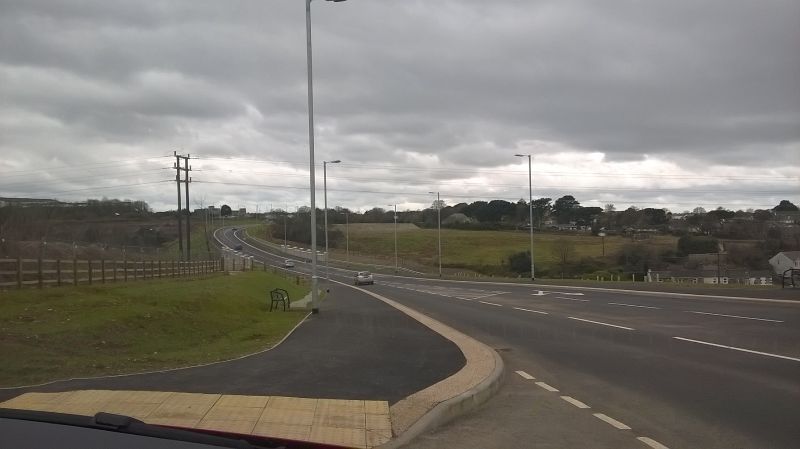
| current | 20:25, 13 March 2016 | | 2,592 × 1,456 (936 KB) | Crowntown100 (talk | contribs) | Looking west from the former South Crofty Mine Site on the new Camborne-Pool-Redruth Link Road |
| 20:21, 13 March 2016 |  | 2,592 × 1,456 (930 KB) | Crowntown100 (talk | contribs) | The Developer built section of the new Camborne-Pool-Redruth Link Road |
File usage
The following 2 pages use this file:
- A3047
- File:A3047 CPR Link Road Phase 1 (file redirect)