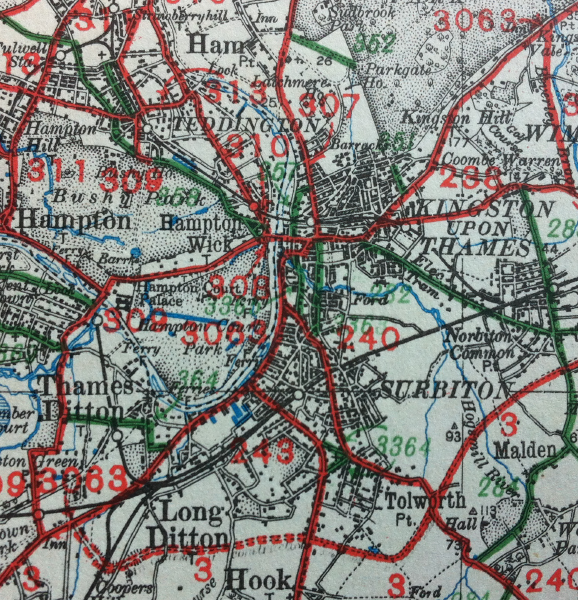
File:A3063 (Kingston)-map.png
Jump to navigation
Jump to search

Size of this preview: 578 × 600 pixels. Other resolution: 1,530 × 1,587 pixels.
Original file (1,530 × 1,587 pixels, file size: 4.6 MB, MIME type: image/png)
| |||||||||||||||||||||||||
|
Galleries | A3063 (Kingston) | OS Ministry of Transport Road Map | ||
File history
Click on a date/time to view the file as it appeared at that time.
| Date/Time | Thumbnail | Dimensions | User | Comment | |
|---|---|---|---|---|---|
| current | 13:02, 1 May 2012 | | 1,530 × 1,587 (4.6 MB) | Ritchie333 (talk | contribs) | Original A3063 around Kingston |
File usage
The following page uses this file:
-map.png&oldid=620741)