File:A3098 at Berkley Cross, bottom of Lodge Hill - Geograph - 1747376.jpg
Jump to navigation
Jump to search

No higher resolution available.
A3098_at_Berkley_Cross,_bottom_of_Lodge_Hill_-_Geograph_-_1747376.jpg (640 × 542 pixels, file size: 93 KB, MIME type: image/jpeg)
| |||||||||||||||||||||||||
|
Galleries | A3098 | ||
File history
Click on a date/time to view the file as it appeared at that time.
| Date/Time | Thumbnail | Dimensions | User | Comment | |
|---|---|---|---|---|---|
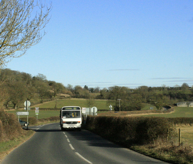
| current | 14:55, 14 March 2010 | | 640 × 542 (93 KB) | Jeni (talk | contribs) | '''A3098 at Berkley Cross, bottom of Lodge Hill'''<br/>A service 53 bus passes the minor road heading north to Berkley and Standerwick on its way into Frome having come through Chapmanslade. |
File usage
The following page uses this file: