File:A30 Country House Interchange.png
Jump to navigation
Jump to search

No higher resolution available.
A30_Country_House_Interchange.png (300 × 230 pixels, file size: 46 KB, MIME type: image/png)
| |||||||||||||||||||||||||
File history
Click on a date/time to view the file as it appeared at that time.
| Date/Time | Thumbnail | Dimensions | User | Comment | |
|---|---|---|---|---|---|
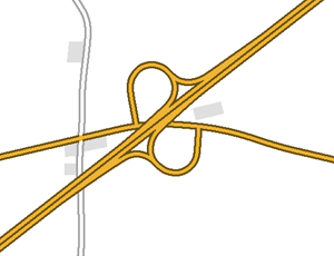
| current | 18:23, 10 March 2022 | | 300 × 230 (46 KB) | Truvelo (talk | contribs) | Layout of Country House Interchange as part of early 1970s A30 dualling between Honiton and Exeter |
File usage
The following page uses this file: