File:A30 May 1995 - Coppermine - 11679.jpg
Jump to navigation
Jump to search

No higher resolution available.
A30_May_1995_-_Coppermine_-_11679.jpg (592 × 398 pixels, file size: 73 KB, MIME type: image/jpeg)
| |||||||||||||||||||||||||
|
Galleries | A30 | Regulatory Sign/Maximum Height | ||
File history
Click on a date/time to view the file as it appeared at that time.
| Date/Time | Thumbnail | Dimensions | User | Comment | |
|---|---|---|---|---|---|
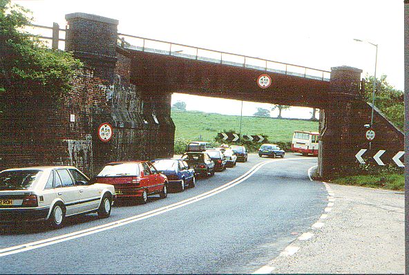
| current | 18:01, 8 March 2010 | | 592 × 398 (73 KB) | M5lenzar (talk | contribs) | {{Information |description = '''A30 May 1995''' Looking west at the Iron Bridge under the Waterloo- Exeter line. One of 2 Iron Bridge bottlenecks on the road to the West, the other one at Goss Moor, has just been bypassed as well, on May 10 2007. This on |
File usage
The following page uses this file: