File:A30 to Old Basing - Geograph - 1182314.jpg
Jump to navigation
Jump to search

No higher resolution available.
A30_to_Old_Basing_-_Geograph_-_1182314.jpg (640 × 439 pixels, file size: 53 KB, MIME type: image/jpeg)
| |||||||||||||||||||||||||
|
Galleries | A30 | A339 | Basingstoke | Black Dam Roundabout | ||
File history
Click on a date/time to view the file as it appeared at that time.
| Date/Time | Thumbnail | Dimensions | User | Comment | |
|---|---|---|---|---|---|
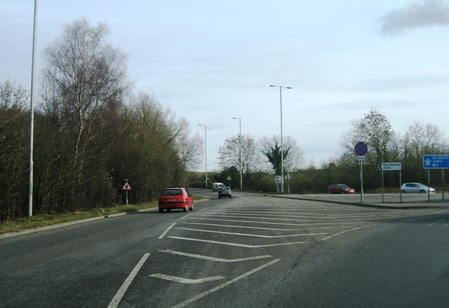
| current | 17:45, 18 February 2017 | | 640 × 439 (53 KB) | A39 chris (talk | contribs) | '''A30 to Old Basing''' Turning coming off the Black Dam roundabout. |
File usage
The following page uses this file: