File:A3217 (C) N Chadwick - Geograph - 4199977.jpg
Jump to navigation
Jump to search

No higher resolution available.
A3217_(C)_N_Chadwick_-_Geograph_-_4199977.jpg (640 × 415 pixels, file size: 75 KB, MIME type: image/jpeg)
| |||||||||||||||||||||||||
|
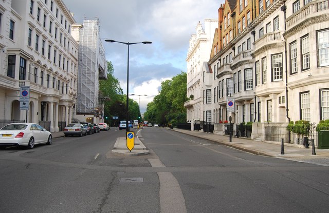
Galleries | A3217 | B311 (Westminster) | ||
File history
Click on a date/time to view the file as it appeared at that time.
| Date/Time | Thumbnail | Dimensions | User | Comment | |
|---|---|---|---|---|---|
| current | 17:14, 18 January 2015 | | 640 × 415 (75 KB) | Vlad (talk | contribs) | '''A3217 (C) N Chadwick '''<br/> The A3217 runs 2.3 miles from Victoria Station to Chelsea in West London. Much of its route is the famous King's Rd |
File usage
The following 4 pages use this file:
_N_Chadwick_-_Geograph_-_4199977.jpg&oldid=393894)