A329(M)_southern_end.jpg (640 × 480 pixels, file size: 155 KB, MIME type: image/jpeg)
Map
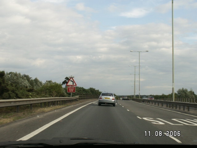
Galleries | A329(M) | A329 | Warning Sign/bend | Warning Sing/Reduce Speed Now
Click on a date/time to view the file as it appeared at that time.
The following page uses this file:
This file contains additional information, probably added from the digital camera or scanner used to create or digitise it.
If the file has been modified from its original state, some details may not fully reflect the modified file.

_southern_end.jpg&oldid=313707)