File:A34(T) seen from bridge at Three Maids Hill - Geograph - 825382.jpg
Jump to navigation
Jump to search

No higher resolution available.
A34(T)_seen_from_bridge_at_Three_Maids_Hill_-_Geograph_-_825382.jpg (640 × 427 pixels, file size: 120 KB, MIME type: image/jpeg)
| |||||||||||||||||||||||||
|
Galleries | A34 | E05 | Three Maids Hill | A34 (Winchester - Oxford) | ||
File history
Click on a date/time to view the file as it appeared at that time.
| Date/Time | Thumbnail | Dimensions | User | Comment | |
|---|---|---|---|---|---|
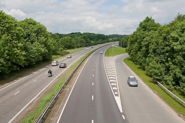
| current | 20:54, 27 July 2010 | | 640 × 427 (120 KB) | Johnny (talk | contribs) | '''A34(T) seen from bridge at Three Maids Hill'''<br/>This is the reciprocal of <a href="http://www.geograph.org.uk/photo/825370">SU4633 : Slip road and bridge over A34(T) at Three Maids Hill</a> . The slip road enables traffic from South Wonston and from |
File usage
The following 2 pages use this file:
_seen_from_bridge_at_Three_Maids_Hill_-_Geograph_-_825382.jpg&oldid=354773)