File:A34, Huntington (C) Geoff Pick - Geograph - 521377.jpg
Jump to navigation
Jump to search

No higher resolution available.
A34,_Huntington_(C)_Geoff_Pick_-_Geograph_-_521377.jpg (640 × 480 pixels, file size: 55 KB, MIME type: image/jpeg)
| |||||||||||||||||||||||||
|
Galleries | A34 | A455 (Birmingham - Stafford) | ||
File history
Click on a date/time to view the file as it appeared at that time.
| Date/Time | Thumbnail | Dimensions | User | Comment | |
|---|---|---|---|---|---|
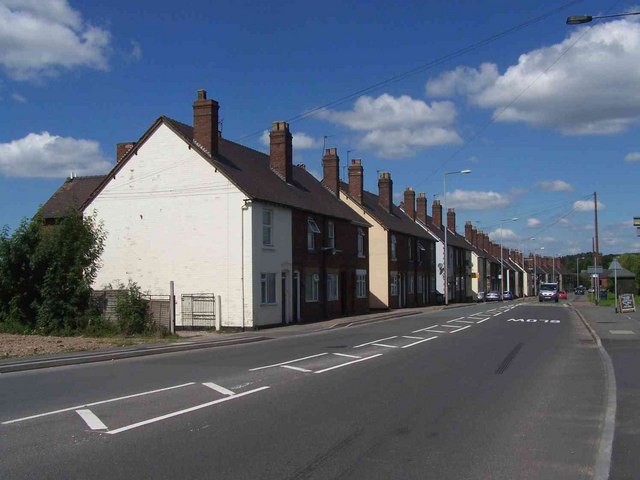
| current | 21:20, 8 February 2014 | | 640 × 480 (55 KB) | Vlad (talk | contribs) | '''A34, Huntington (C) Geoff Pick '''<br/>The houses were originally associated with Littleton Colliery |
File usage
The following page uses this file:
_Geoff_Pick_-_Geograph_-_521377.jpg&oldid=363276)