File:A366-nsp1.jpg
Jump to navigation
Jump to search

No higher resolution available.
A366-nsp1.jpg (480 × 533 pixels, file size: 135 KB, MIME type: image/jpeg)
| |||||||||||||||||||||||||
|
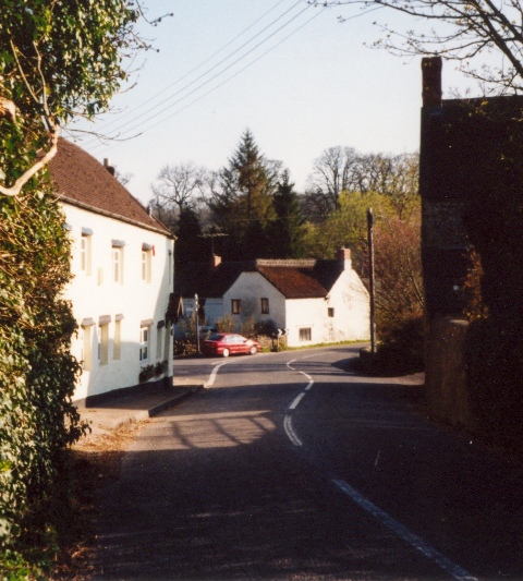
Galleries | A366 | ||
File history
Click on a date/time to view the file as it appeared at that time.
| Date/Time | Thumbnail | Dimensions | User | Comment | |
|---|---|---|---|---|---|
| current | 20:26, 31 August 2009 | | 480 × 533 (135 KB) | Rileyrob (talk | contribs) | {{Information |description = Looking west along the A366, heading out of Norton St Phillip. |day = |month = 06 |year = 2003 |photographer = User:rileyrob |source = |road = A366 |road2 = |road3 = |
File usage
The following page uses this file: