File:A367-fosse1.jpg
Jump to navigation
Jump to search

Size of this preview: 386 × 600 pixels. Other resolution: 412 × 640 pixels.
Original file (412 × 640 pixels, file size: 179 KB, MIME type: image/jpeg)
| |||||||||||||||||||||||||
File history
Click on a date/time to view the file as it appeared at that time.
| Date/Time | Thumbnail | Dimensions | User | Comment | |
|---|---|---|---|---|---|
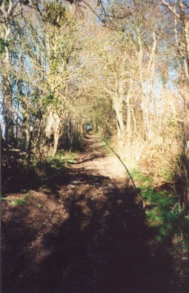
| current | 11:38, 28 August 2009 | | 412 × 640 (179 KB) | Rileyrob (talk | contribs) | {{Information |description = The Fosse Way surviving as a farm track alongside the A367 at Dunkerton |day = |month = May |year = 2000 |photographer = User:rileyrob |source = |road = A367 |road2 = Fosse W |