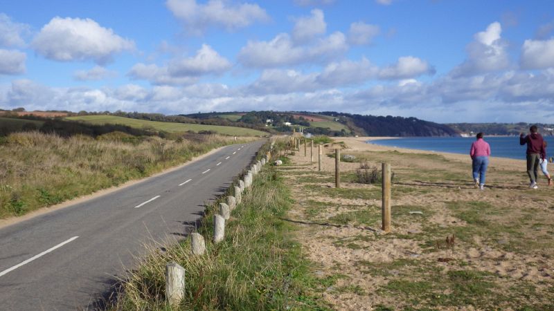
Looking east towards Strete Gate. The A379 was partly washed away by a strong easterly gale and had only just re-opened. The section ahead having been moved inland somewhat.
Looking east towards Strete Gate. The A379 was partly washed away by a strong easterly gale and had only just re-opened. The section ahead having been moved inland somewhat.
File usage
There are no pages that use this file.
Metadata
This file contains additional information, probably added from the digital camera or scanner used to create or digitise it.
If the file has been modified from its original state, some details may not fully reflect the modified file.
