File:A38, Kennford Overbridge - Geograph - 1368541.jpg
Jump to navigation
Jump to search

No higher resolution available.
A38,_Kennford_Overbridge_-_Geograph_-_1368541.jpg (640 × 455 pixels, file size: 74 KB, MIME type: image/jpeg)
| |||||||||||||||||||||||||
|
Galleries | A38 | D3 | Wobbly Wheel | Fork sign | ||
File history
Click on a date/time to view the file as it appeared at that time.
| Date/Time | Thumbnail | Dimensions | User | Comment | |
|---|---|---|---|---|---|
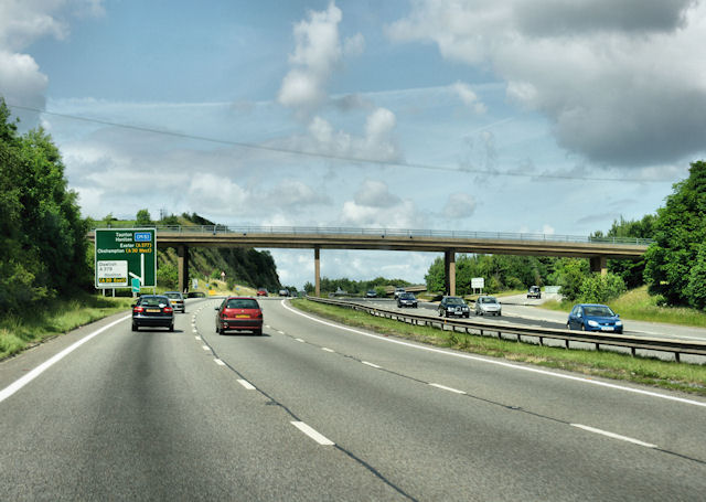
| current | 11:16, 10 July 2016 | | 640 × 455 (74 KB) | C2r (talk | contribs) | '''A38, Kennford Overbridge''' Heading north. |
File usage
The following page uses this file: