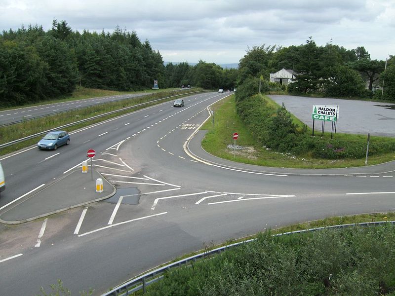
The A380 Looking north. The original road is the uphill side but, further down becomes the downhill section. The A380 climb is known as Telegraph Hill, the A38, Haldon Hill. Old garage visible on right, indicating that the old road may have been at a higher elevation here.
{{Information |description = The A380 Looking north. The original road is the uphill side but, further down becomes the downhill section. The A380 climb is known as Telegraph Hill, the A38, Haldon Hill. Old garage visible on right, indicating that the ol
