File:A39 Arch Hill Truro - Geograph - 765815.jpg
Jump to navigation
Jump to search

No higher resolution available.
A39_Arch_Hill_Truro_-_Geograph_-_765815.jpg (640 × 480 pixels, file size: 80 KB, MIME type: image/jpeg)
| |||||||||||||||||||||||||
|
Galleries | A39 | ||
File history
Click on a date/time to view the file as it appeared at that time.
| Date/Time | Thumbnail | Dimensions | User | Comment | |
|---|---|---|---|---|---|
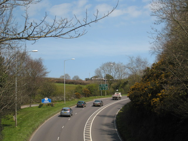
| current | 23:08, 15 January 2010 | | 640 × 480 (80 KB) | Jeni (talk | contribs) | {{Information |description = A39 Arch Hill Truro |day = 16 |month = 04 |year = 2008 |photographer = © Copyright [http://www.geograph.org.uk/profile/22976 Rod Allday] and licensed for reuse under [http://creativecommons.org/licens |
File usage
There are no pages that use this file.