File:A40 Bridge (C) Gordon Griffiths - Geograph - 1673276.jpg
Jump to navigation
Jump to search

No higher resolution available.
A40_Bridge_(C)_Gordon_Griffiths_-_Geograph_-_1673276.jpg (640 × 480 pixels, file size: 54 KB, MIME type: image/jpeg)
| |||||||||||||||||||||||||
|
Galleries | A40 | Wheatley Bypass Bridge | ||
File history
Click on a date/time to view the file as it appeared at that time.
| Date/Time | Thumbnail | Dimensions | User | Comment | |
|---|---|---|---|---|---|
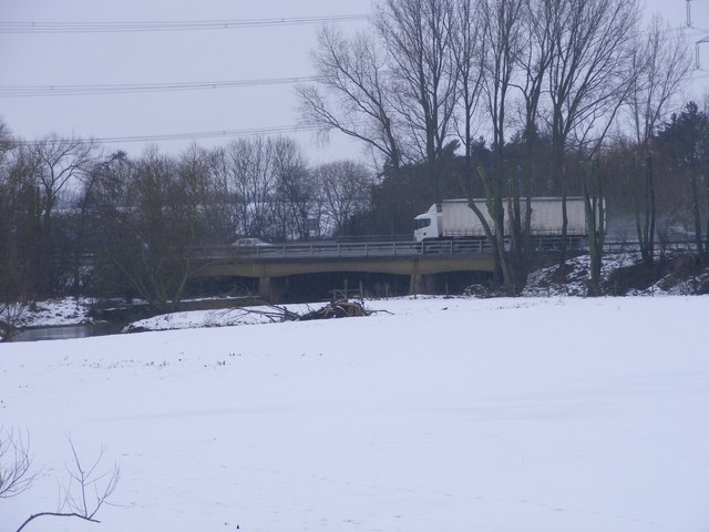
| current | 15:29, 29 October 2014 | | 640 × 480 (54 KB) | Jeni (talk | contribs) | '''A40 Bridge (C) Gordon Griffiths '''<br/>The view of the bridge over the River Thame from the London Road bridge near Wheatley. |
File usage
The following 2 pages use this file:
_Gordon_Griffiths_-_Geograph_-_1673276.jpg&oldid=389826)