File:A40 Oxford Improvements early 90s.png
Jump to navigation
Jump to search

Size of this preview: 705 × 599 pixels. Other resolution: 2,000 × 1,700 pixels.
Original file (2,000 × 1,700 pixels, file size: 984 KB, MIME type: image/png)
| |||||||||||||||||||||||||
File history
Click on a date/time to view the file as it appeared at that time.
| Date/Time | Thumbnail | Dimensions | User | Comment | |
|---|---|---|---|---|---|
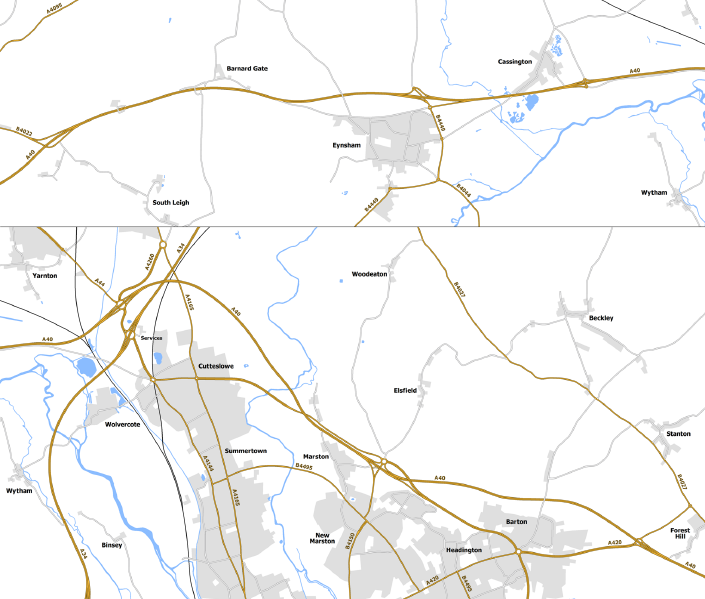
| current | 22:16, 24 January 2020 | | 2,000 × 1,700 (984 KB) | Truvelo (talk | contribs) | Early 1990s proposals to upgrade the A40 between Oxford and Witney to dual carriageway along with bypasses for the roundabouts north of Oxford. |
File usage
The following page uses this file: