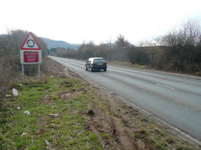
File:A40 Ross-on-Wye eastern Bypass - Geograph - 1165748.jpg
Jump to navigation
Jump to search

No higher resolution available.
A40_Ross-on-Wye_eastern_Bypass_-_Geograph_-_1165748.jpg (640 × 480 pixels, file size: 212 KB, MIME type: image/jpeg)
| |||||||||||||||||||||||||
|
Galleries | A40 | Ross-on-Wye | Warning Sign/Roundabout | ||
File history
Click on a date/time to view the file as it appeared at that time.
| Date/Time | Thumbnail | Dimensions | User | Comment | |
|---|---|---|---|---|---|
| current | 00:32, 2 March 2010 | | 640 × 480 (212 KB) | Jeni (talk | contribs) | {{Information |description = A40 Ross-on-Wye eastern Bypass |day = 15 |month = 02 |year = 2009 |photographer = © Copyright [http://www.geograph.org.uk/profile/8569 Jonathan Billinger] and licensed for reuse under [http://creative |
File usage
The following 2 pages use this file: