File:A40 approaches the Square and Compass Roundabout, Ashfield - Geograph - 3308694.jpg
Jump to navigation
Jump to search

No higher resolution available.
A40_approaches_the_Square_and_Compass_Roundabout,_Ashfield_-_Geograph_-_3308694.jpg (640 × 416 pixels, file size: 60 KB, MIME type: image/jpeg)
| |||||||||||||||||||||||||
|
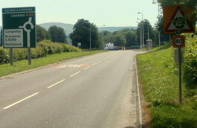
Galleries | A40 | A4069 | Square and Compass | Advance Direction Sign | ||
File history
Click on a date/time to view the file as it appeared at that time.
| Date/Time | Thumbnail | Dimensions | User | Comment | |
|---|---|---|---|---|---|
| current | 23:27, 15 October 2016 | | 640 × 416 (60 KB) | C2r (talk | contribs) | '''A40 approaches the Square & Compass Roundabout, Ashfield''' The roundabout is named after a pub that was formerly located alongside it. |
File usage
The following 2 pages use this file: