File:A413 Amersham Bypass - Geograph - 723096.jpg
Jump to navigation
Jump to search

No higher resolution available.
A413_Amersham_Bypass_-_Geograph_-_723096.jpg (640 × 480 pixels, file size: 78 KB, MIME type: image/jpeg)
| |||||||||||||||||||||||||
|
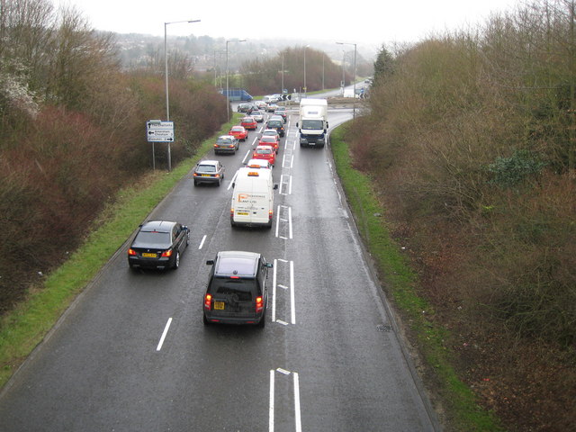
Galleries | A413 | Amersham | S2+1 | Gore Hill Roundabout | Advance Direction Sign | ||
File history
Click on a date/time to view the file as it appeared at that time.
| Date/Time | Thumbnail | Dimensions | User | Comment | |
|---|---|---|---|---|---|
| current | 11:12, 16 June 2010 | | 640 × 480 (78 KB) | Si404 (talk | contribs) | '''A413 Amersham Bypass'''<br/>Viewed from The Royle Bridge and looking towards the roundabout at the junction with the A355 Gore Hill. |
File usage
The following page uses this file: