File:A413 approaching Shardeloes roundabout (C) John Firth - Geograph - 2862255.jpg
Jump to navigation
Jump to search

No higher resolution available.
A413_approaching_Shardeloes_roundabout_(C)_John_Firth_-_Geograph_-_2862255.jpg (640 × 427 pixels, file size: 49 KB, MIME type: image/jpeg)
| |||||||||||||||||||||||||
|
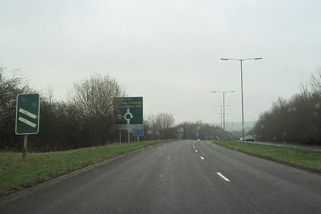
Galleries | A413 | Amersham | Advance Direction Sign | Shardeloes Roundabout | ||
File history
Click on a date/time to view the file as it appeared at that time.
| Date/Time | Thumbnail | Dimensions | User | Comment | |
|---|---|---|---|---|---|
| current | 14:53, 4 March 2014 | | 640 × 427 (49 KB) | Si404 (talk | contribs) | '''A413 approaching Shardeloes roundabout (C) John Firth '''<br/>At the end of the dual carriageway travelling south |
File usage
The following 2 pages use this file:
_John_Firth_-_Geograph_-_2862255.jpg&oldid=365887)