File:A4142 Eastern Bypass (C) Stuart Logan - Geograph - 2800671.jpg
Jump to navigation
Jump to search

No higher resolution available.
A4142_Eastern_Bypass_(C)_Stuart_Logan_-_Geograph_-_2800671.jpg (640 × 408 pixels, file size: 59 KB, MIME type: image/jpeg)
| |||||||||||||||||||||||||
|
Galleries | A4142 | Oxford Ring Road | Oxford | ||
File history
Click on a date/time to view the file as it appeared at that time.
| Date/Time | Thumbnail | Dimensions | User | Comment | |
|---|---|---|---|---|---|
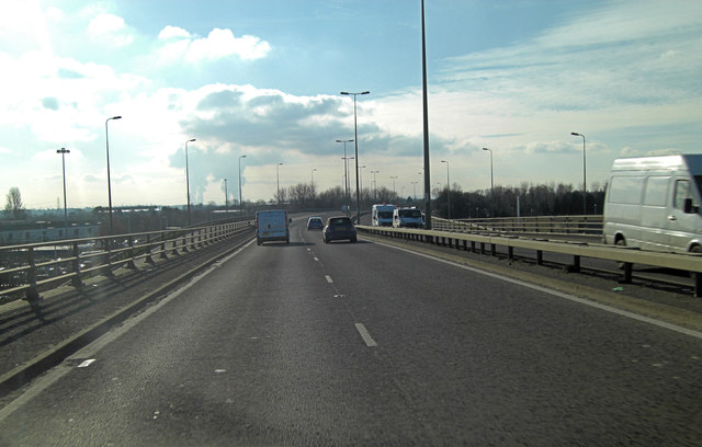
| current | 16:23, 7 September 2014 | | 640 × 408 (59 KB) | Vlad (talk | contribs) | '''A4142 Eastern Bypass (C) Stuart Logan '''<br/>This elevated section of the Oxford Ring Road is passing over the Garsington Road. In the distance Didcot power station cooling towers create a little localised strato-cumulus. |
File usage
The following 2 pages use this file:
_Stuart_Logan_-_Geograph_-_2800671.jpg&oldid=385266)