File:A428 and road-building works - Geograph - 5343230.jpg
Jump to navigation
Jump to search

No higher resolution available.
A428_and_road-building_works_-_Geograph_-_5343230.jpg (640 × 428 pixels, file size: 50 KB, MIME type: image/jpeg)
| |||||||||||||||||||||||||
|
Galleries | A428 | A14 | A14/Huntingdon to Cambridge Improvement | ||
File history
Click on a date/time to view the file as it appeared at that time.
| Date/Time | Thumbnail | Dimensions | User | Comment | |
|---|---|---|---|---|---|
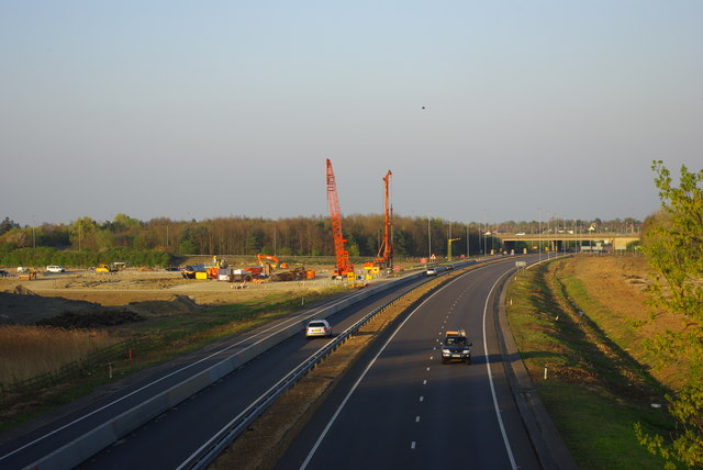
| current | 10:01, 5 April 2018 | | 640 × 428 (50 KB) | C2r (talk | contribs) | '''A428 and road-building works''' On the left is part of the building site for the changes to Girton Interchange as part of upgrade works to the A14. The piling rig is installing piles to support a new flyover. The speck in the sky is a helicopter. |
File usage
There are no pages that use this file.