File:A43, Cushendall Road - Geograph - 2148402.jpg
Jump to navigation
Jump to search

No higher resolution available.
A43,_Cushendall_Road_-_Geograph_-_2148402.jpg (640 × 480 pixels, file size: 52 KB, MIME type: image/jpeg)
| |||||||||||||||||||||||||
|
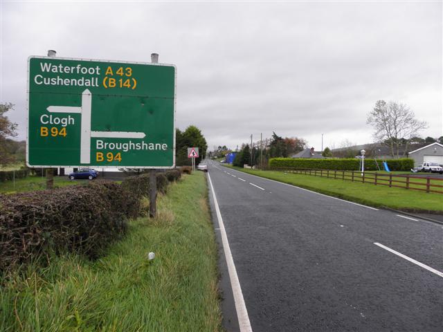
Galleries | A43 (Northern Ireland) | Advance Direction Sign | ||
File history
Click on a date/time to view the file as it appeared at that time.
| Date/Time | Thumbnail | Dimensions | User | Comment | |
|---|---|---|---|---|---|
| current | 16:23, 24 May 2013 | | 640 × 480 (52 KB) | Si404 (talk | contribs) | '''A43, Cushendall Road'''<br/>Heading NNE toward Waterfoot and Cushendall |
File usage
The following page uses this file: