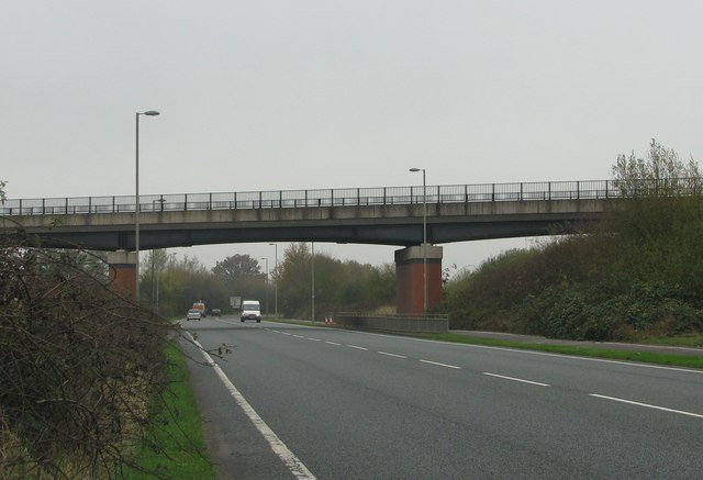
File:A4421, the Bicester by-pass, goes under the railway bridge - Geograph - 1588587.jpg
Jump to navigation
Jump to search

No higher resolution available.
A4421,_the_Bicester_by-pass,_goes_under_the_railway_bridge_-_Geograph_-_1588587.jpg (640 × 437 pixels, file size: 43 KB, MIME type: image/jpeg)
| |||||||||||||||||||||||||
|
Galleries | A4421 | S2 | A4400-A4499 | ||
File history
Click on a date/time to view the file as it appeared at that time.
| Date/Time | Thumbnail | Dimensions | User | Comment | |
|---|---|---|---|---|---|
| current | 14:11, 22 November 2009 | | 640 × 437 (43 KB) | Bob@romiley1 (talk | contribs) | {{Information |description = A4421, the Bicester by-pass, goes under the railway bridge |day = 09 |month = 11 |year = 2009 |photographer = © Copyright [http://www.geograph.org.uk/profile/26528 Sarah Charlesworth] and licensed for |
File usage
The following 3 pages use this file: