File:A449 - Standeford traffic lights - Geograph - 2056732.jpg
Jump to navigation
Jump to search

No higher resolution available.
A449_-_Standeford_traffic_lights_-_Geograph_-_2056732.jpg (640 × 480 pixels, file size: 65 KB, MIME type: image/jpeg)
| |||||||||||||||||||||||||
|
Galleries | A449 | Standeford Crossroads | Wolverhampton | ||
File history
Click on a date/time to view the file as it appeared at that time.
| Date/Time | Thumbnail | Dimensions | User | Comment | |
|---|---|---|---|---|---|
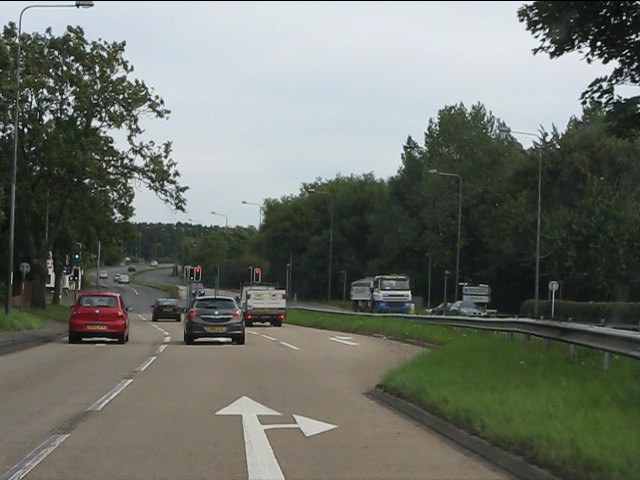
| current | 12:12, 12 January 2018 | | 640 × 480 (65 KB) | Steven (talk | contribs) | '''A449 - Standeford traffic lights''' The road's earlier course (now Old Stafford Road) comes in from the right, having left in gridsquare SJ9105). See: http://www.geograph.org.uk/photo/2056714 |
File usage
The following 2 pages use this file: