File:A470 Near Dolwyddelan - Geograph - 380221.jpg
Jump to navigation
Jump to search

No higher resolution available.
A470_Near_Dolwyddelan_-_Geograph_-_380221.jpg (640 × 480 pixels, file size: 77 KB, MIME type: image/jpeg)
| |||||||||||||||||||||||||
|
Galleries | A470 | Ffordd Cambria | ||
File history
Click on a date/time to view the file as it appeared at that time.
| Date/Time | Thumbnail | Dimensions | User | Comment | |
|---|---|---|---|---|---|
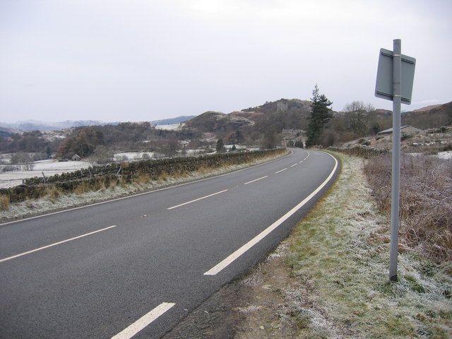
| current | 21:07, 8 March 2010 | | 640 × 480 (77 KB) | Jeni (talk | contribs) | '''A470 Near Dolwyddelan'''<br/>Picture taken from a layby on the A470 looking west towards Dolwyddelan castle. |
File usage
The following page uses this file: