File:A470 road near Llanbrynmair - Geograph - 217783.jpg
Jump to navigation
Jump to search

No higher resolution available.
A470_road_near_Llanbrynmair_-_Geograph_-_217783.jpg (640 × 480 pixels, file size: 128 KB, MIME type: image/jpeg)
| |||||||||||||||||||||||||
|
Galleries | A470 | ||
File history
Click on a date/time to view the file as it appeared at that time.
| Date/Time | Thumbnail | Dimensions | User | Comment | |
|---|---|---|---|---|---|
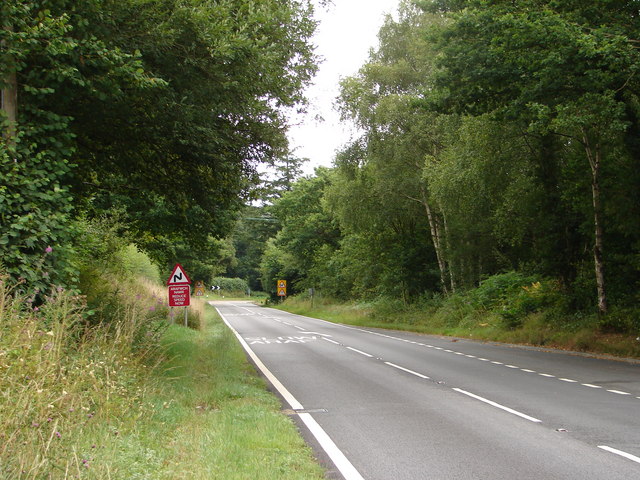
| current | 23:11, 21 March 2010 | | 640 × 480 (128 KB) | Jeni (talk | contribs) | '''A470 road near Llanbrynmair'''<br/>Looking in the direction of Llanbrynmair. The bend in the road ahead is a "dog-leg" over a railway bridge. |
File usage
The following page uses this file: