File:A47 junction - Geograph - 646033.jpg
Jump to navigation
Jump to search

No higher resolution available.
A47_junction_-_Geograph_-_646033.jpg (640 × 426 pixels, file size: 69 KB, MIME type: image/jpeg)
| |||||||||||||||||||||||||
|
Galleries | A47 | Pullover Roundabout | Kings Lynn | ||
File history
Click on a date/time to view the file as it appeared at that time.
| Date/Time | Thumbnail | Dimensions | User | Comment | |
|---|---|---|---|---|---|
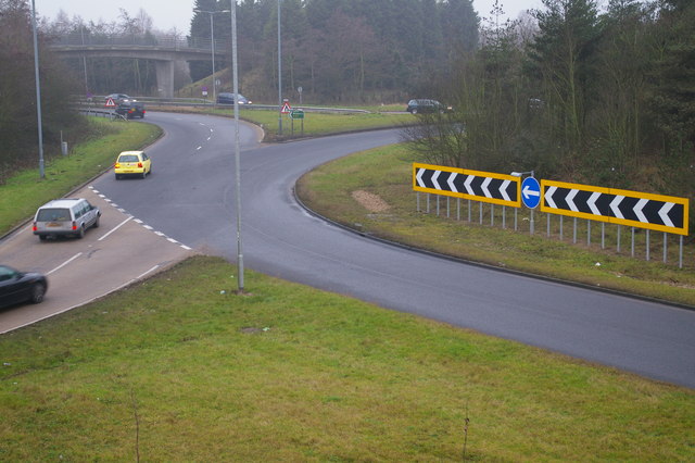
| current | 07:08, 10 August 2017 | | 640 × 426 (69 KB) | C2r (talk | contribs) | '''A47 junction''' The A47 turns left here. There's an embankment in the middle of the road and of the roundabout with space to grade separate the interchange. |
File usage
The following 3 pages use this file: