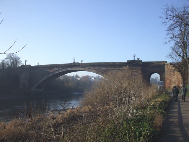
File:A483 bridge over the Dee.jpg
Jump to navigation
Jump to search

No higher resolution available.
A483_bridge_over_the_Dee.jpg (640 × 480 pixels, file size: 60 KB, MIME type: image/jpeg)
| |||||||||||||||||||||||||
|
Galleries | A483 | ||
File history
Click on a date/time to view the file as it appeared at that time.
| Date/Time | Thumbnail | Dimensions | User | Comment | |
|---|---|---|---|---|---|
| current | 00:45, 25 August 2009 | | 640 × 480 (60 KB) | Jeni (talk | contribs) | {{Information |description =A483 bridge over the Dee |day = 02 |month = 01 |year = 2009 |photographer = © Copyright [http://www.geograph.org.uk/profile/16266 John Lord] and licensed for reuse under [http://creativecommons.org |
File usage
There are no pages that use this file.