File:A5065-Salford.jpg
Jump to navigation
Jump to search

No higher resolution available.
A5065-Salford.jpg (270 × 282 pixels, file size: 54 KB, MIME type: image/jpeg)
| |||||||||||||||||||||||||
|
Galleries | A5065 (Salford) | OS Pathfinder | Salford | ||
File history
Click on a date/time to view the file as it appeared at that time.
| Date/Time | Thumbnail | Dimensions | User | Comment | |
|---|---|---|---|---|---|
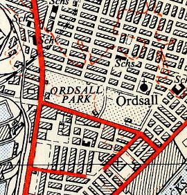
| current | 20:16, 11 January 2011 | | 270 × 282 (54 KB) | Steven (talk | contribs) | The former A5065 in Salford in the mid-1950s |
File usage
The following 4 pages use this file: