File:A550 RCS.jpg
Jump to navigation
Jump to search

Size of this preview: 800 × 600 pixels. Other resolution: 2,048 × 1,536 pixels.
Original file (2,048 × 1,536 pixels, file size: 568 KB, MIME type: image/jpeg)
| |||||||||||||||||||||||||
|
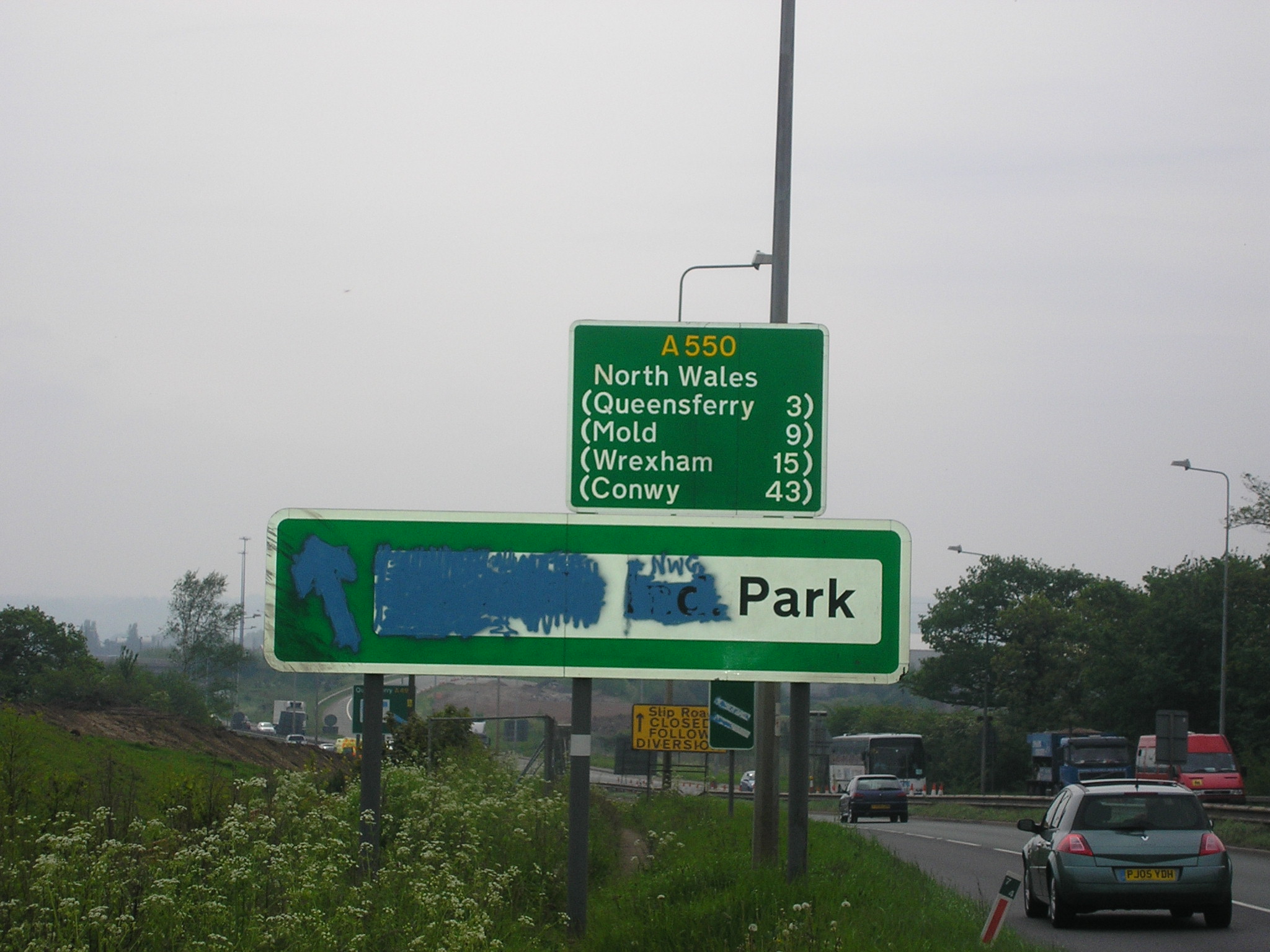
Galleries | A550 | A494 | Deeside Industrial Park Interchange | Route Confirmation Sign | D2 | Roadworks | ||
File history
Click on a date/time to view the file as it appeared at that time.
| Date/Time | Thumbnail | Dimensions | User | Comment | |
|---|---|---|---|---|---|
| current | 23:02, 19 August 2011 | | 2,048 × 1,536 (568 KB) | Kieron (talk | contribs) | A route confirmation sign which used to stand on the A550 near Queensferry. The sign was eventually removed owing to the roadworks which had already claimed the slip road which used to be just around the bend. |
File usage
The following 2 pages use this file: