File:A6017 Guide Lane, Audenshaw (C) John Topping - Geograph - 3366204.jpg
Jump to navigation
Jump to search

No higher resolution available.
A6017_Guide_Lane,_Audenshaw_(C)_John_Topping_-_Geograph_-_3366204.jpg (640 × 480 pixels, file size: 64 KB, MIME type: image/jpeg)
| |||||||||||||||||||||||||
File history
Click on a date/time to view the file as it appeared at that time.
| Date/Time | Thumbnail | Dimensions | User | Comment | |
|---|---|---|---|---|---|
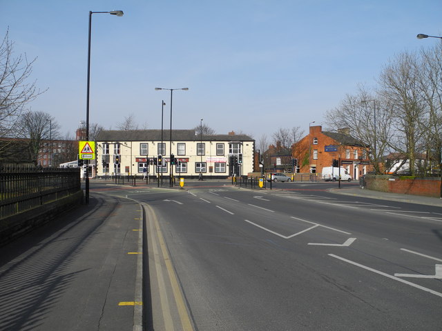
| current | 17:03, 26 October 2014 | | 640 × 480 (64 KB) | Vlad (talk | contribs) | '''A6017 Guide Lane, Audenshaw (C) John Topping '''<br/>At the junction with A6140 Audenshaw Road (left) and A6017 Stockport Road (right). Forming the background are Guide Bridge Mill (now named Guide Bridge Trading Estate), The Boundary and The Corpor... |
File usage
The following 4 pages use this file:
_John_Topping_-_Geograph_-_3366204.jpg&oldid=505922)