File:A627M - Geograph - 1770407.jpg
Jump to navigation
Jump to search

No higher resolution available.
A627M_-_Geograph_-_1770407.jpg (640 × 480 pixels, file size: 104 KB, MIME type: image/jpeg)
| |||||||||||||||||||||||||
|
Galleries | A627(M) | ||
File history
Click on a date/time to view the file as it appeared at that time.
| Date/Time | Thumbnail | Dimensions | User | Comment | |
|---|---|---|---|---|---|
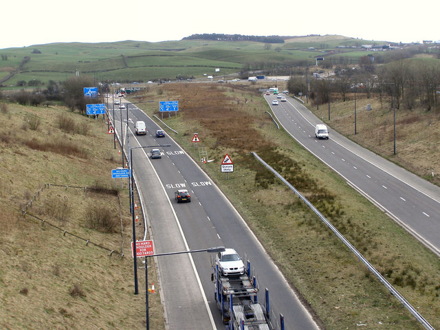
| current | 14:43, 26 March 2010 | | 640 × 480 (104 KB) | Jeni (talk | contribs) | '''A627M'''<br/>The A627M links Rochdale to the M62 at Thornham Island. This view is looking towards Thornham Island from the footbridge at the end of Ruskin Road, Kirkholt. |
File usage
The following page uses this file: