File:A631c.jpg
Jump to navigation
Jump to search

No higher resolution available.
A631c.jpg (640 × 446 pixels, file size: 86 KB, MIME type: image/jpeg)
| |||||||||||||||||||||||||
|
Galleries | A631 | ||
The copyright on this image – which is licensed for reuse under the Creative Commons Attribution-ShareAlike 2.0 licence and was taken from the Geograph British Isles project collection – is owned by John Beal. See this image's page on the Geograph website for the photographer's contact details.
File history
Click on a date/time to view the file as it appeared at that time.
| Date/Time | Thumbnail | Dimensions | User | Comment | |
|---|---|---|---|---|---|
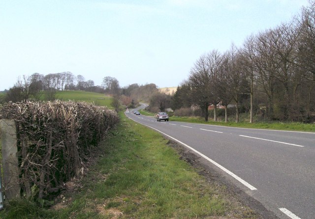
| current | 15:07, 5 July 2009 | | 640 × 446 (86 KB) | Viator (talk | contribs) | {{Information |description = The A631 near South Elkington |lat = 53.369620 |lon = -0.040815 |road = A631 |day = 31 |month = March |year = 2007 |photographer = John Beal |source |
File usage
There are no pages that use this file.