File:A635, Manchester Road - Ashton-under-Lyne - Geograph - 3199758.jpg
Jump to navigation
Jump to search

No higher resolution available.
A635,_Manchester_Road_-_Ashton-under-Lyne_-_Geograph_-_3199758.jpg (640 × 480 pixels, file size: 66 KB, MIME type: image/jpeg)
| |||||||||||||||||||||||||
|
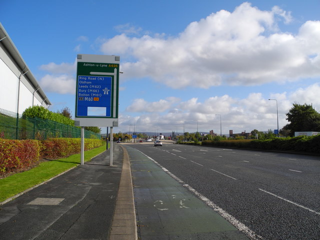
Galleries | A635 | Ashton-under-Lyne | Snipe Interchange | ||
File history
Click on a date/time to view the file as it appeared at that time.
| Date/Time | Thumbnail | Dimensions | User | Comment | |
|---|---|---|---|---|---|
| current | 20:10, 1 June 2016 | | 640 × 480 (66 KB) | Jeni (talk | contribs) | '''A635, Manchester Road - Ashton-under-Lyne''' Heading east towards J23/M60. |
File usage
The following 3 pages use this file: