File:A63 looking south(ish) - Coppermine - 9174.jpg
Jump to navigation
Jump to search

No higher resolution available.
A63_looking_south(ish)_-_Coppermine_-_9174.jpg (640 × 480 pixels, file size: 38 KB, MIME type: image/jpeg)
| |||||||||||||||||||||||||
File history
Click on a date/time to view the file as it appeared at that time.
| Date/Time | Thumbnail | Dimensions | User | Comment | |
|---|---|---|---|---|---|
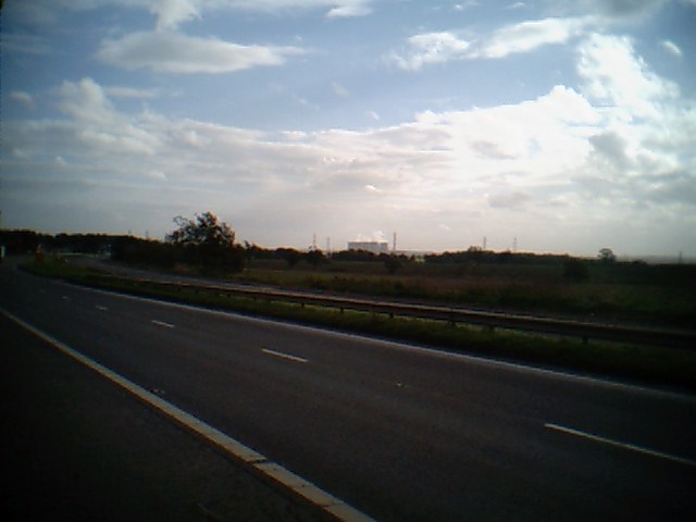
| current | 13:19, 26 January 2010 | | 640 × 480 (38 KB) | Chris5156 (talk | contribs) | {{Information |description = '''A63 looking south(ish)''' The former A1 is now the A63 between Micklefield and Selby Fork, this is looking south from Selby Fork services towards Ferrybridge. <small>''Originally uploaded to Coppermine on Nov 16, 2006 by |
File usage
There are no pages that use this file.
_-_Coppermine_-_9174.jpg&oldid=482351)