File:A66 South of Cockermouth - Geograph - 3490406.jpg
Jump to navigation
Jump to search

No higher resolution available.
A66_South_of_Cockermouth_-_Geograph_-_3490406.jpg (640 × 480 pixels, file size: 109 KB, MIME type: image/jpeg)
| |||||||||||||||||||||||||
|
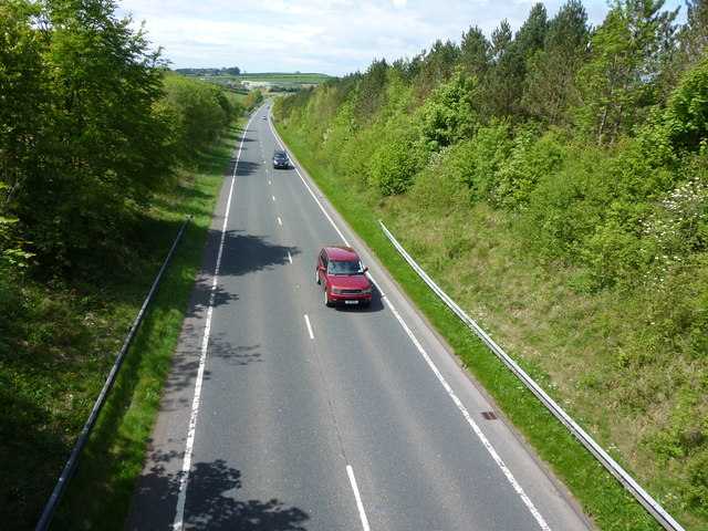
Galleries | A66 | Cockermouth | Lamplugh Roundabout | ||
File history
Click on a date/time to view the file as it appeared at that time.
| Date/Time | Thumbnail | Dimensions | User | Comment | |
|---|---|---|---|---|---|
| current | 20:59, 24 August 2017 | | 640 × 480 (109 KB) | Tom h (talk | contribs) | '''A66 South of Cockermouth''' |
File usage
The following 3 pages use this file: