File:A702 and M74 - Geograph - 4089208.jpg
Jump to navigation
Jump to search

No higher resolution available.
A702_and_M74_-_Geograph_-_4089208.jpg (640 × 480 pixels, file size: 73 KB, MIME type: image/jpeg)
| |||||||||||||||||||||||||
|
Galleries | A702 | Clyde Valley Tourist Route | A74(M) | Abington | ||
File history
Click on a date/time to view the file as it appeared at that time.
| Date/Time | Thumbnail | Dimensions | User | Comment | |
|---|---|---|---|---|---|
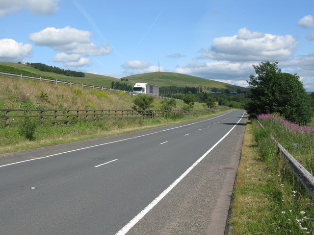
| current | 16:58, 20 August 2016 | | 640 × 480 (73 KB) | Si404 (talk | contribs) | '''A702 and M74''' Both roads more or less follow the line of the old A74 at this point just south of Abington. The hill with the mast in the background is Craighead Hill. |
File usage
The following page uses this file: