File:A719 (C) Richard Webb - Geograph - 3708109.jpg
Jump to navigation
Jump to search

No higher resolution available.
A719_(C)_Richard_Webb_-_Geograph_-_3708109.jpg (640 × 360 pixels, file size: 214 KB, MIME type: image/jpeg)
| |||||||||||||||||||||||||
|
Galleries | A719 | B746 (Ayr - Galston) | ||
File history
Click on a date/time to view the file as it appeared at that time.
| Date/Time | Thumbnail | Dimensions | User | Comment | |
|---|---|---|---|---|---|
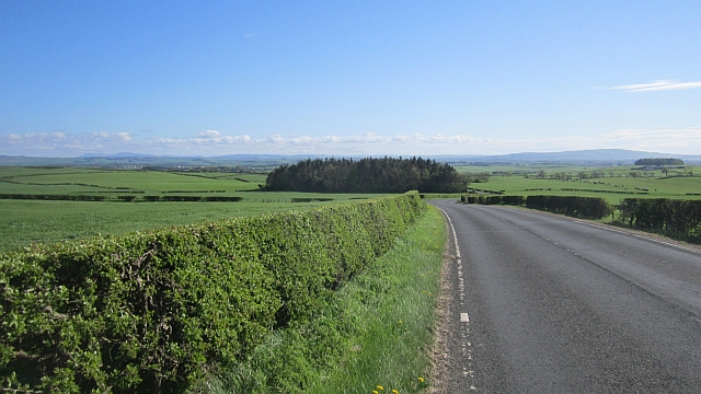
| current | 21:00, 7 March 2015 | | 640 × 360 (214 KB) | Vlad (talk | contribs) | '''A719 (C) Richard Webb '''<br/>Ayr to Galston road running through dairy farming country. Not many cows visible though. |
File usage
The following 3 pages use this file:
_Richard_Webb_-_Geograph_-_3708109.jpg&oldid=395944)