File:A737 Dalry Bypass - River Garnock Viaduct aerial looking east.jpg
Jump to navigation
Jump to search

Size of this preview: 800 × 533 pixels. Other resolution: 2,000 × 1,333 pixels.
Original file (2,000 × 1,333 pixels, file size: 985 KB, MIME type: image/jpeg)
| |||||||||||||||||||||||||
|
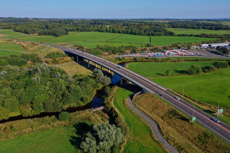
Galleries | A737 | River Garnock Viaduct | A737/Dalry Bypass | Ayrshire | ||
File history
Click on a date/time to view the file as it appeared at that time.
| Date/Time | Thumbnail | Dimensions | User | Comment | |
|---|---|---|---|---|---|
| current | 18:21, 17 October 2021 | | 2,000 × 1,333 (985 KB) | Glen (talk | contribs) | River Garnock Viaduct on the A737 Dalry Bypass |
File usage
The following 3 pages use this file: