File:A74(M) Junction 19 - Geograph - 2934300.jpg
Jump to navigation
Jump to search

No higher resolution available.
A74(M)_Junction_19_-_Geograph_-_2934300.jpg (640 × 480 pixels, file size: 408 KB, MIME type: image/jpeg)
| |||||||||||||||||||||||||
|
Galleries | A74(M) | Ecclefechan Interchange | ||
File history
Click on a date/time to view the file as it appeared at that time.
| Date/Time | Thumbnail | Dimensions | User | Comment | |
|---|---|---|---|---|---|
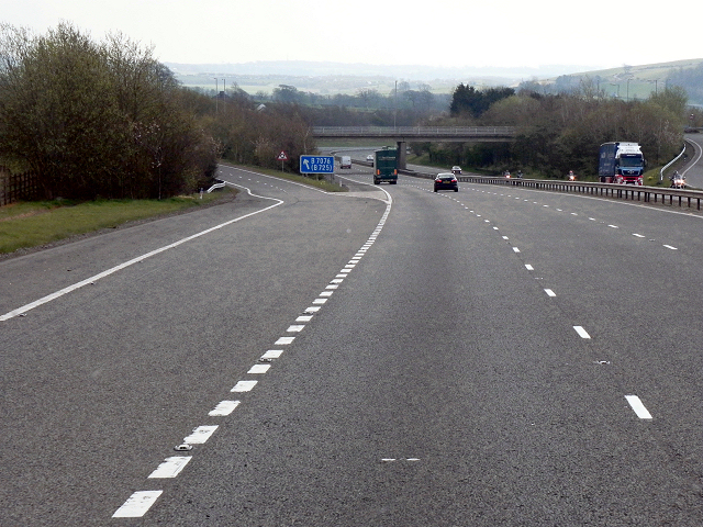
| current | 23:35, 6 June 2016 | | 640 × 480 (408 KB) | Jeni (talk | contribs) | '''A74(M) Junction 19''' The exit slip road from the A74(M) southbound, at junction 19. |
File usage
The following 2 pages use this file:
_Junction_19_-_Geograph_-_2934300.jpg&oldid=418173)