File:A761 Clune Brae Port G;asgow - Geograph - 3785283.jpg
Jump to navigation
Jump to search

No higher resolution available.
A761_Clune_Brae_Port_G;asgow_-_Geograph_-_3785283.jpg (640 × 388 pixels, file size: 109 KB, MIME type: image/jpeg)
| |||||||||||||||||||||||||
|
Galleries | A761 | ||
File history
Click on a date/time to view the file as it appeared at that time.
| Date/Time | Thumbnail | Dimensions | User | Comment | |
|---|---|---|---|---|---|
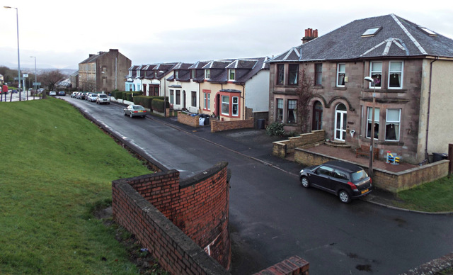
| current | 19:30, 12 February 2021 | | 640 × 388 (109 KB) | Tam nugent (talk | contribs) | This is the original A761, Clune Brae road. The present road (the A761 Kilmacolm Road) can be seen to the left. |
File usage
There are no pages that use this file.